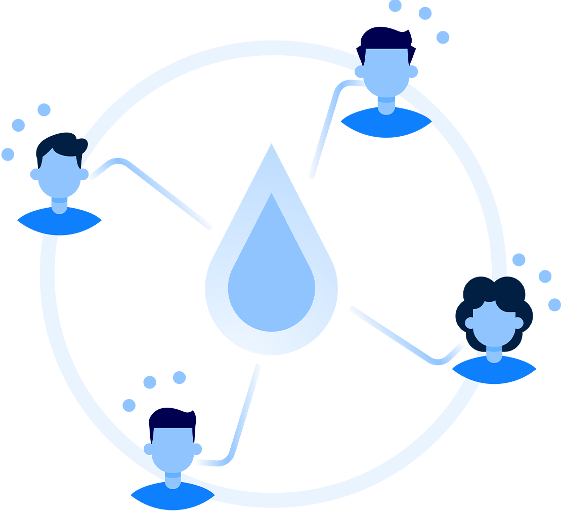
The research team will endogenize human agency in human-water systems research and modeling. To this end, we will calibrate cutting edge water system models in the three labs and interconnect them with the novel human system model developed previously via two-way feedback protocols.
This will allow us to capture the complexity of coupled human-water systems, represented by nonlinearities, behavioral biases, and interdependencies, and to forecast and track the causal relationships driving the emergence of adaptation surprises, as well as their impacts.